
|
|
IBEXtrax.com - Cascade Mountains of Washington StateAlpine Lakes Wilderness, Wenatchee Forest |
|
|
03 117 South side on Mount Stuart from Longs Pass
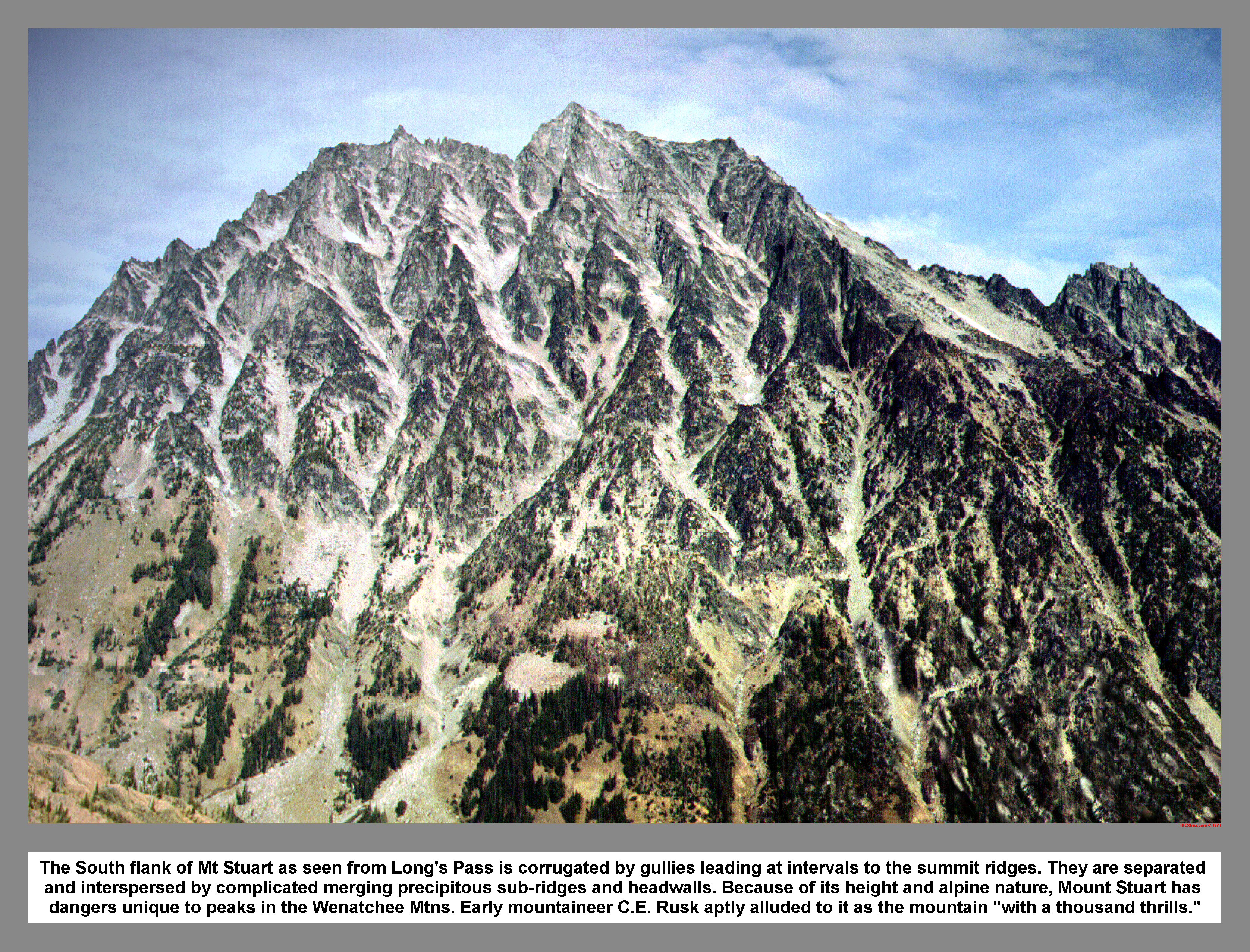
The South flank of Mt Stuart as seen from Long's Pass is corrugated by gullies leading at intervals to the summit ridges. They are separated and interspersed by complicated merging precipitous sub-ridges and headwalls. Because of its height and alpine nature, Mount Stuart has dangers unique to peaks in the Wenatchee Mtns. Early mountaineer C.E. Rusk aptly alluded to it as the mountain "with a thousand thrills."
04 109 John B climbs on Ingalls Peak
John B Climbing the reddish serpentine rock of Ingalls North Peak.
04 110 Warren leads south face Direct on Ingalls Peak
On the first climb out of Headlight Basin near Ingalls Lake, the climbers went up the South Face Direct Route on the North Pk of Ingalls Peak. The rock on the technical route was a contrasting mix of exposed reddish serpentine,Swauk sandstone and other colorful metamorphic rocks. The rocks had been cooked by the nearby Stuart Batholith and then injected with heavy metals. Relics from the early miners still litter the area.
04 112 Looking north from Ingalls Peak North summit
Looking north from the summit of Ingalls Main Peak (North Peak) the climber could see deep into the Alpine Lakes Wilderness. The Jack Creek drainage trails off to the right to meet Icicle Creek. Harding Mountain with its prominent South Gully stands beyond Solomon Ck on the left. The volcanic cone of Glacier Pk can be seen on the skyline right and inline with Sloan Pk to the left one can see the very top of Mt Baker.
04 113 Climbers on Dogtooth Crag near Lk Ingalls

Rooted between the North Ingalls Peak and the South Ingalls Peak is the Dogtooth Crag. This narrow pointed cone composed Swauk Sandstone was climbed via its broken South Face. '76
The East Peak of Ingalls Peak.
04 115 Mt Stuart and Lake Ingalls at sunset

Mount Stuart fades to gold in the setting sun, and paints its reflection behind a small iceberg that drifts across wind rippled waters of Lake Ingalls. Alpine Lakes Wilderness. Aug 1976.
04 116 East Peak of Ingalls Peak
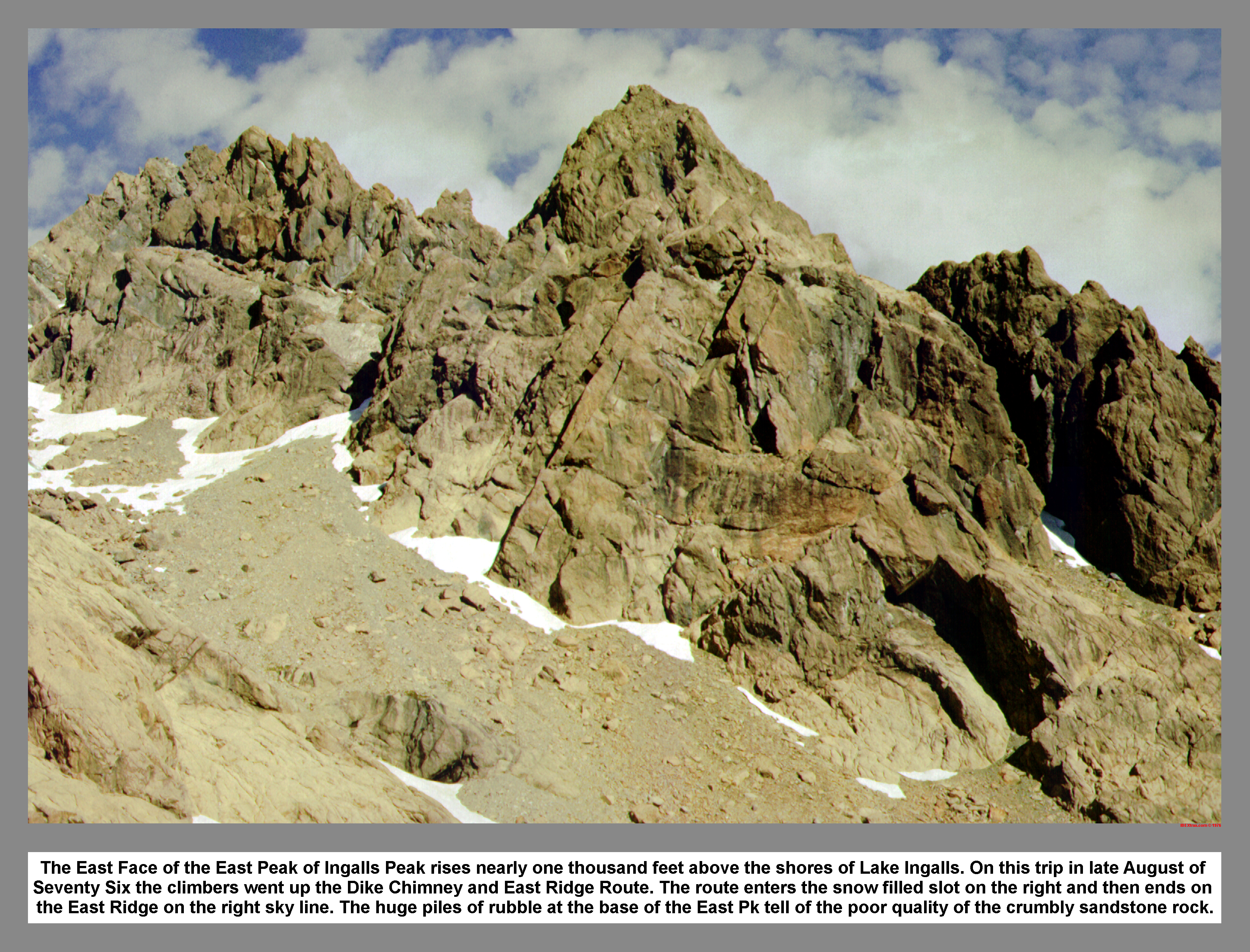
The East Face of the East Peak of Ingalls Peak rises nearly one thousand feet above the shores of Lake Ingalls. On this trip in late August of Seventy Six the climbers went up the Dike Chimney and East Ridge Route. The route enters the snow filled slot on the right and then ends on the East Ridge on the right sky line. The huge piles of rubble at the base of the East Pk tell of the poor quality of the crumbly sandstone rock.
04 117 Chimney Dike Route John B
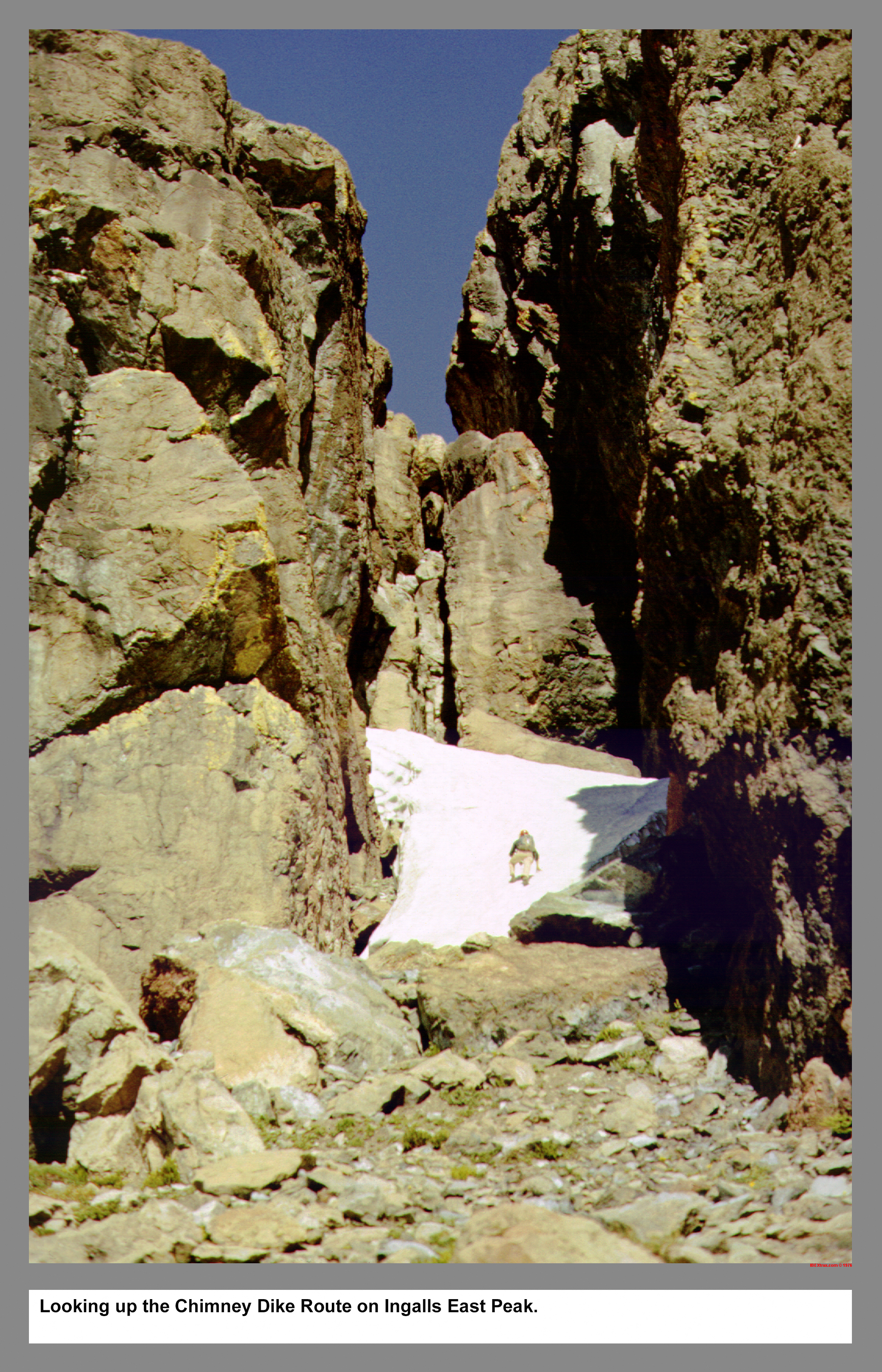
Looking up the Chimney Dike Route on Ingalls East Peak.
04 118 Down the Dike Chimney above Lake Ingalls
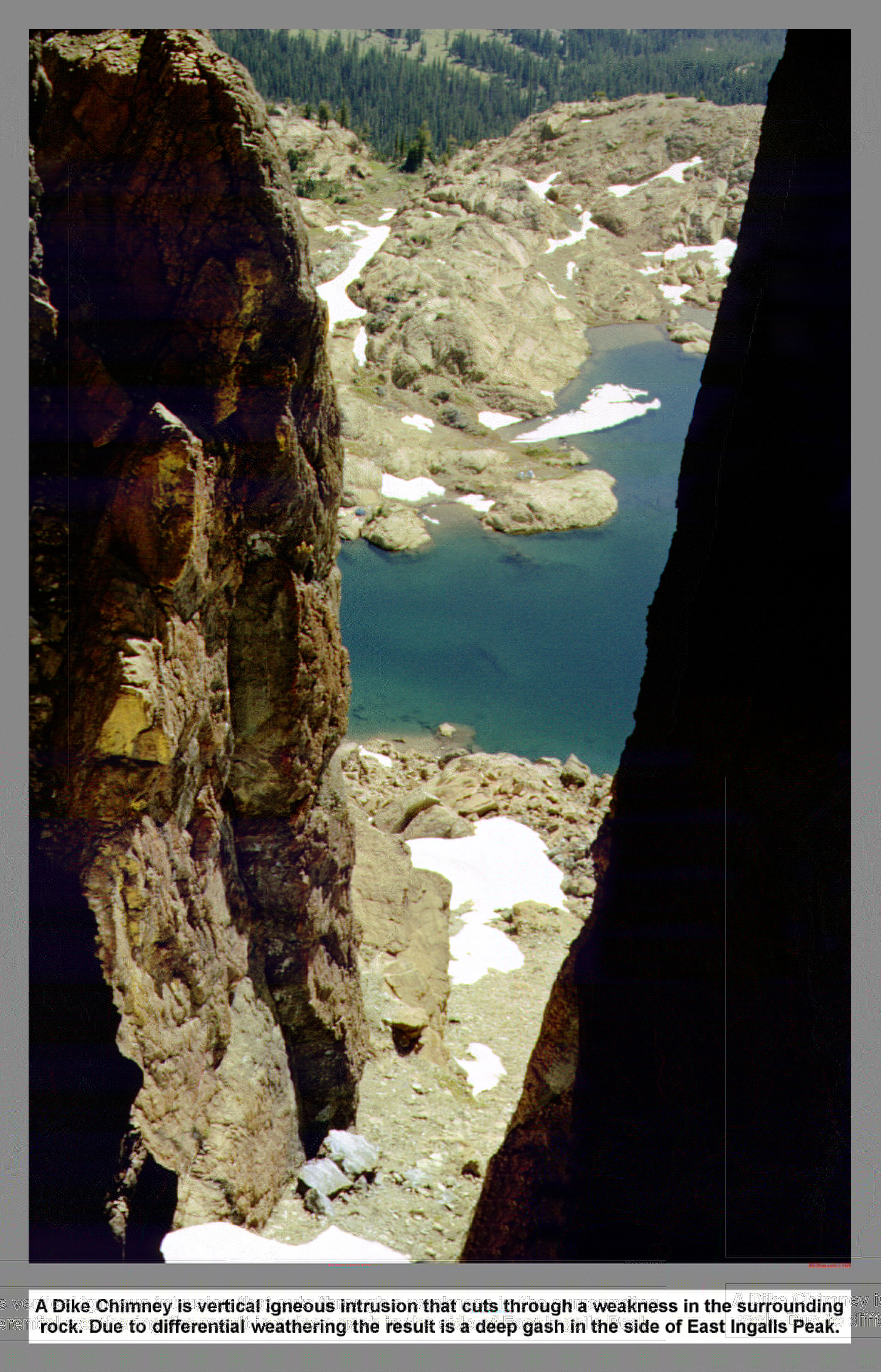
Dike Chimney is a vertical igneous intrusion that cuts through a weakness in the surrounding rock. Due to differential weathering the result is a deep gash in the side of East Ingalls Peak.
04 120 Lake Ingalls from the East Peak John B
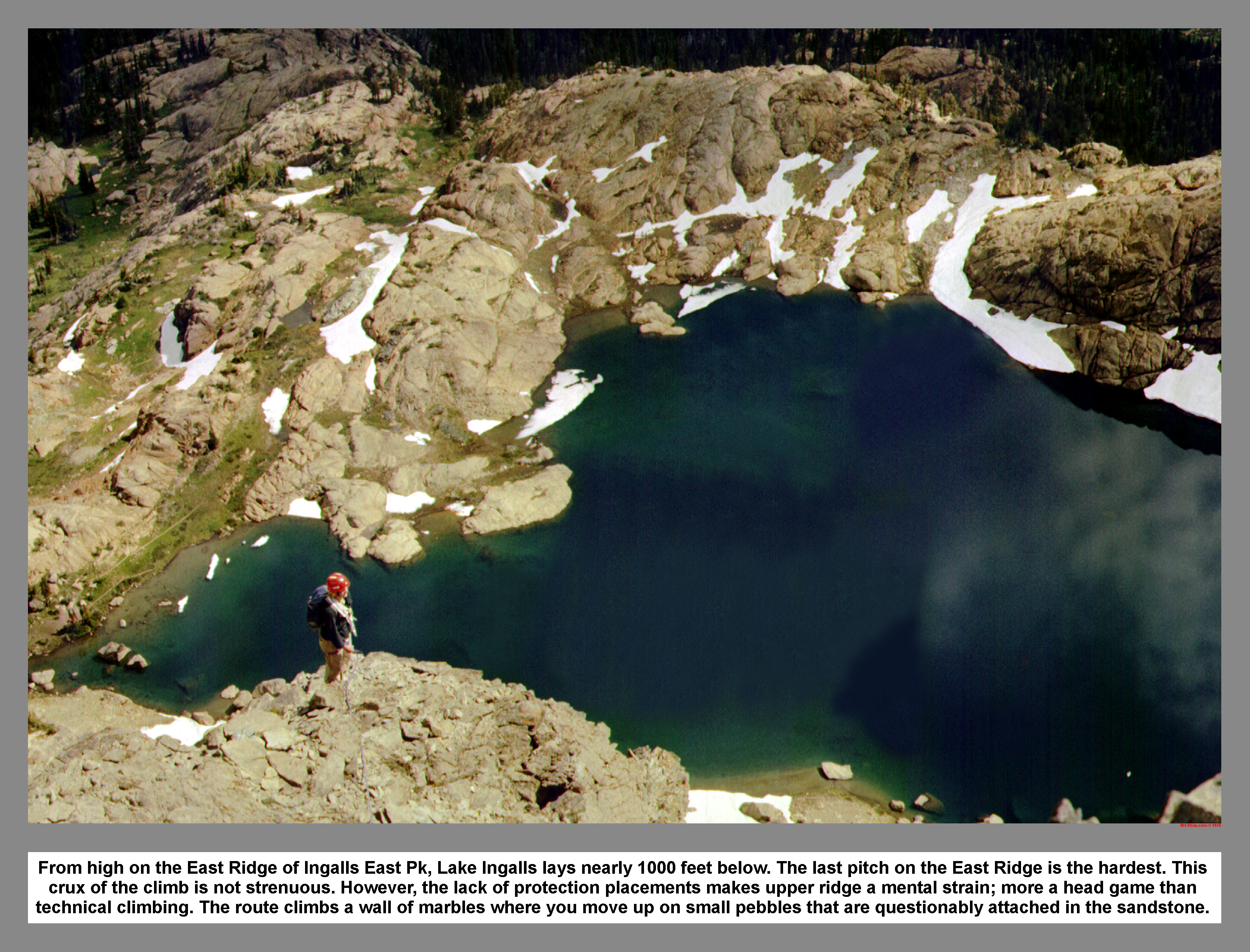
From high on the East Ridge of Ingalls East Pk, Lake Ingalls lays nearly 1000' below. The last pitch on the East Ridge is the hardest. This crux of the climb is not strenuous. However, the lack of protection placements makes the upper ridge a mental strain; more a head game than hard technical climbing. The route climbs a wall of marbles where you move up on small pebbles that are questionably attached in the sandstone.
04 121 Ingalls South Peak and Mt Rainier
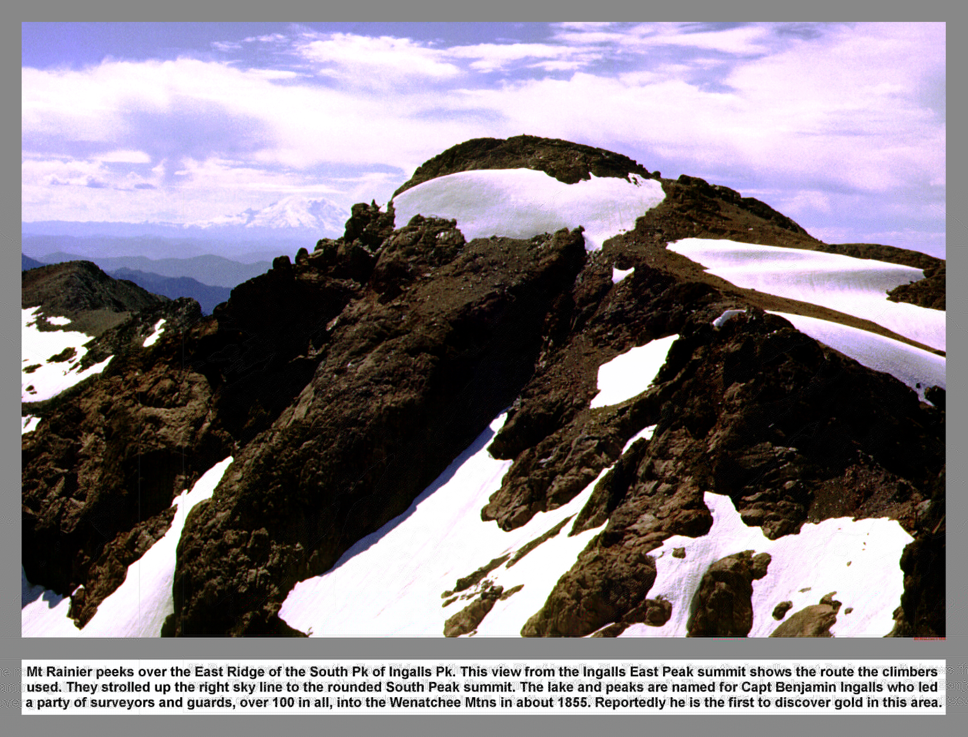
Mt Rainier peeks over the East Ridge of the South Pk of Ingalls Pk. This view from the Ingalls East Peak summit shows the route the climbers used. They strolled up the right sky line to the rounded South Peak summit. The lake and peaks are named for Capt Benjamin Ingalls who led a party of surveyors and guards, over 100 in all, into the Wenatchee Mtns in about 1855. Reportedly he is the first to discover gold in this area.
04 122 John B at Lake Ingalls camp
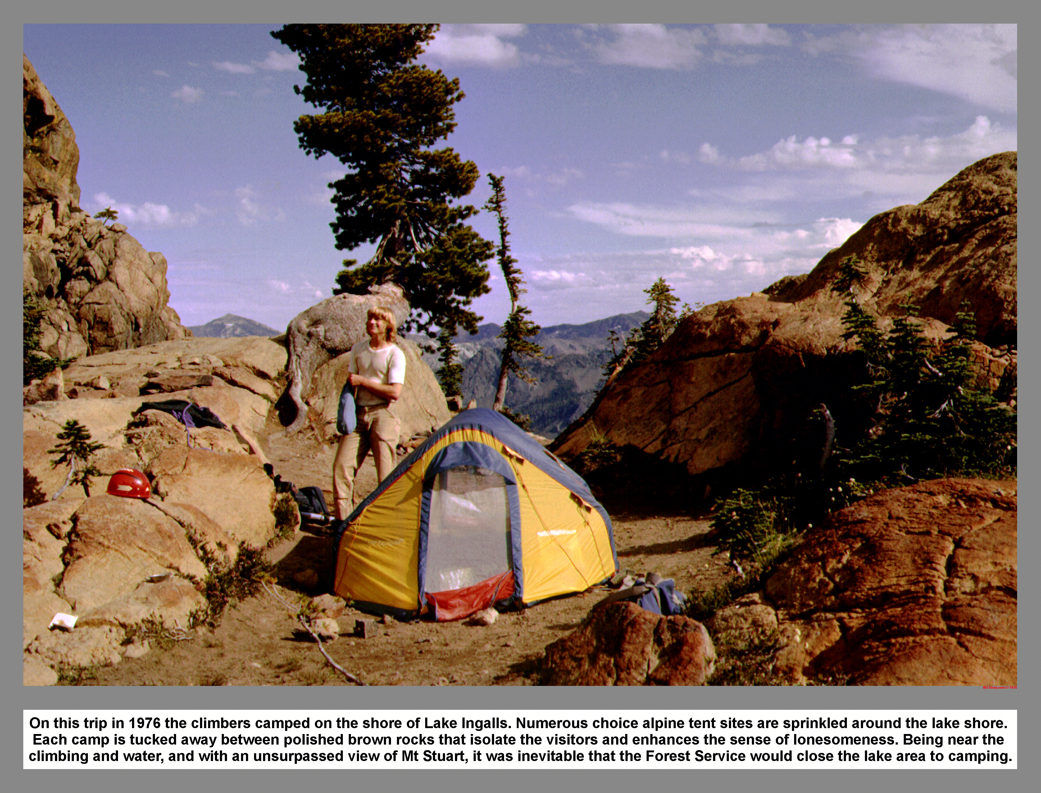
On this trip in 1976 the climbers camped on the shore of Lake Ingalls. Numerous choice alpine tent sites are sprinkled around the lake shore. Each camp is tucked away between polished brown rocks that isolate the visitors and enhances the sense of lonesomeness. Being near the climbing and water, and with an unsurpassed view of Mt Stuart, it was inevitable that the Forest Service would close the lake area to camping.
04 123 Hiker on Ingalls Way Trial

Hikers on Ingalls Way Trial where if leaves Headlight Basin and drops over Ingalls Pass.
04 124 Goldbar Dwarfs Warren on Ingalls way trail
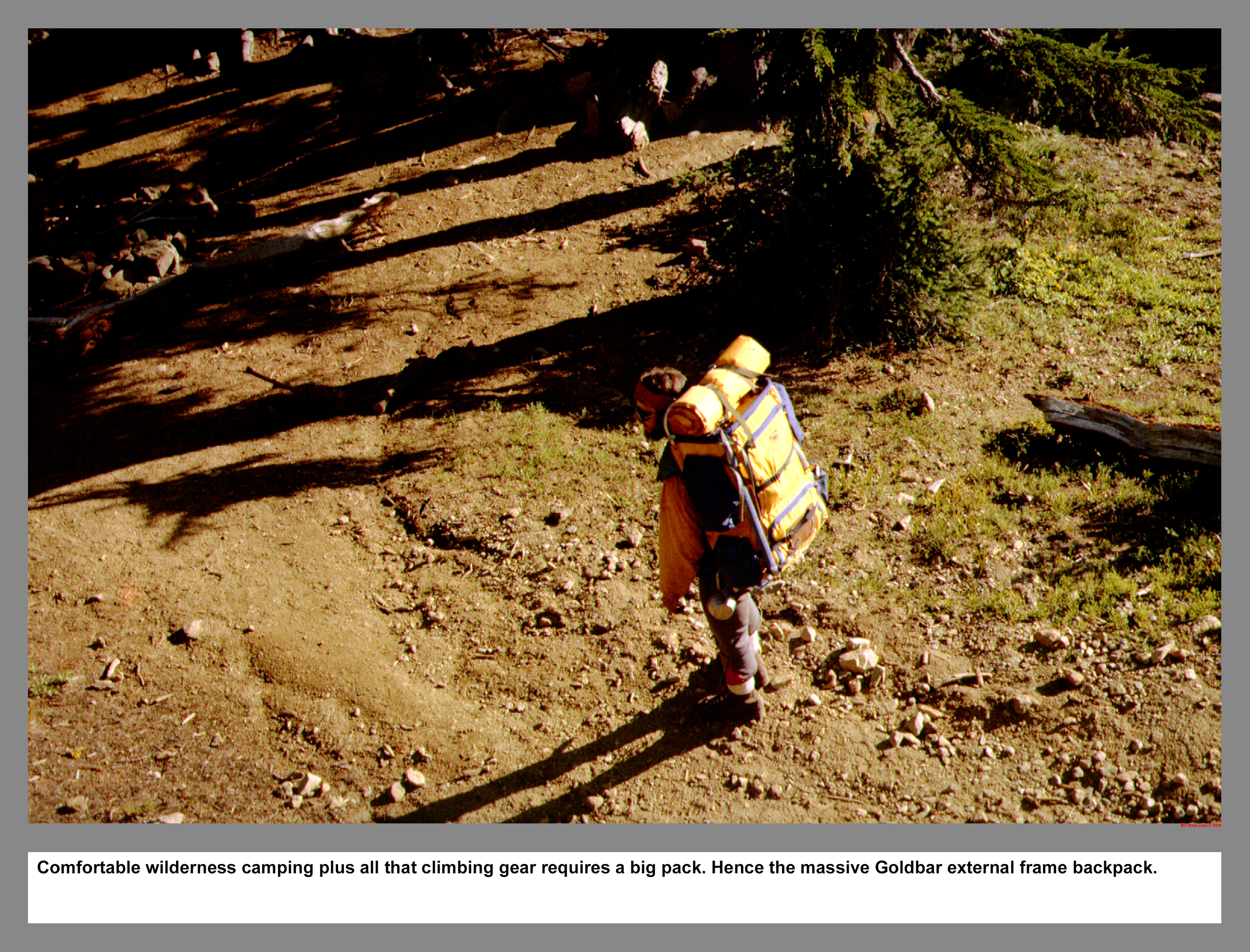
Comfortable wilderness camping plus all that climbing gear requires a big pack. Hence the massive Goldbar external frame backpack.
|
|
|
|
|
|
This site created and maintained by THE IBEX - Page last revised:
|
|
